Preloader

Aerial Imaging & Progress Monitoring

Capture Progress | Document | Present

hepta profiels

Every successful project begins with clear visibility. Our drone-based imaging and monitoring services are designed to provide accurate aerial visuals and data throughout the project lifecycle. From early-stage documentation to ongoing progress tracking, we help teams monitor work, verify execution, and communicate updates with confidence.

What we offer

We provide structured, repeatable drone-based monitoring services that help teams track site progress, maintain clear records, and review work with confidence. Our approach ensures consistency, clarity, and easy comparison across every project stage.

Scheduled Aerial Site Coverage

Regular (monthly or as required) drone photo and video capture to document site progress accurately.

Site Name, Location & Date Overlays

All visuals include location coordinates, site references, and timestamps for verification and reporting.

Organized Delivery Structure

Photos and videos are delivered in clearly labeled folders by site, location, and date for easy access.

Progress Analysis & Reporting (Add-On)

Optional video analysis with Excel-based progress reports highlighting completed, ongoing, and pending works.

Initial Project Assessment

We begin by understanding your vision, requirements.

Budget & Cost Estimation

We begin by understanding your vision, requirements.

Why choose our Drone services?

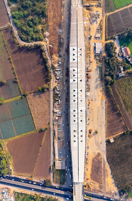
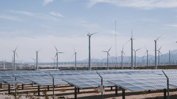
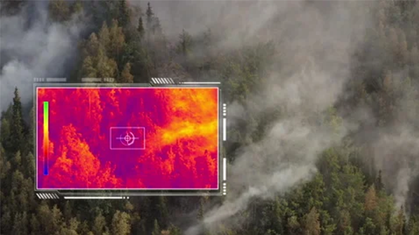
We combine advanced drone technology with disciplined flight execution to deliver clear, stable, and decision-ready visuals. Our focus is not just flying drones—but capturing accurate, distraction-free data that clients can confidently use for monitoring, analysis, and reporting

Ultra High Resolution Imaging

Capture projects in true 4K clarity, with optional 8K resolution, ensuring every detail is visible even at large sites.

GPS & Date Overlay

Integrated GPS coordinates and timestamps on videos and visuals for location verification, audit clarity, and reporting accuracy.

Precision Focus & Detail Capture

Sharp, stable focus allows easy identification of small objects, work stages, and site-level changes without guesswork.

Stabilized & Aligned Flight Execution

Smooth, vibration-free footage with perfect path alignment, keeping subjects centered and eliminating visual jumps or distractions.

Service process

Our service process is designed to ensure accurate data capture, smooth execution, and outputs that meet your exact project requirements. Each step is carefully planned to deliver consistent and reliable results.

Site & Requirement Analysis

We begin by reviewing the KML file to understand the site layout, terrain conditions, and access points. This step also includes detailed discussions to fully understand your monitoring, documentation, or reporting requirements.

Drone Selection & Flight Planning

Based on the site analysis, we select the most suitable drone platform and camera setup. A precise flight plan is created to ensure stable coverage, correct alignment, and consistent data capture across all missions.

Delivery, Review & Optimization

We deliver the final visuals and data in a structured format. Client feedback is reviewed carefully, and any required refinements are implemented to ensure the output meets expectations.

SECTORS WE SERVE

Drones for Progress Monitoring
That Elevate Every Industry

Aerial Progress Monitoring & Site Intelligence

Drone Inspection & Infrastructure Monitoring

Facility Mapping & Asset Visualization

Urban Mapping & Development Insights

Safe Drone-Based Line Inspection

Real-Time Aerial Surveillance & Support

07.

Surveying, Mapping & Volume Analysis

Precision Monitoring & Land Mapping

Construction

Mining

Energy

Road & Infra Development

Free

Let’s make something great work together. Get Free Quote

Everything You Need to Know

Monitoring can be done on a monthly basis or at custom intervals based on your project requirements.

All photos and videos include GPS coordinates, site reference details, and date overlays for easy verification and reporting.

Outputs are shared in a structured folder format, organized by site name, location, and date for quick access and comparison.

Yes. Each mission follows a planned flight path with proper alignment to ensure stable, distraction-free and consistent visuals.

Yes. As an add-on service, we analyze the visuals and provide Excel-based reports showing completed, ongoing, and pending works.

Get in touch with us