Immersive site visibility for remote inspection, progress review, and confident decision-making.
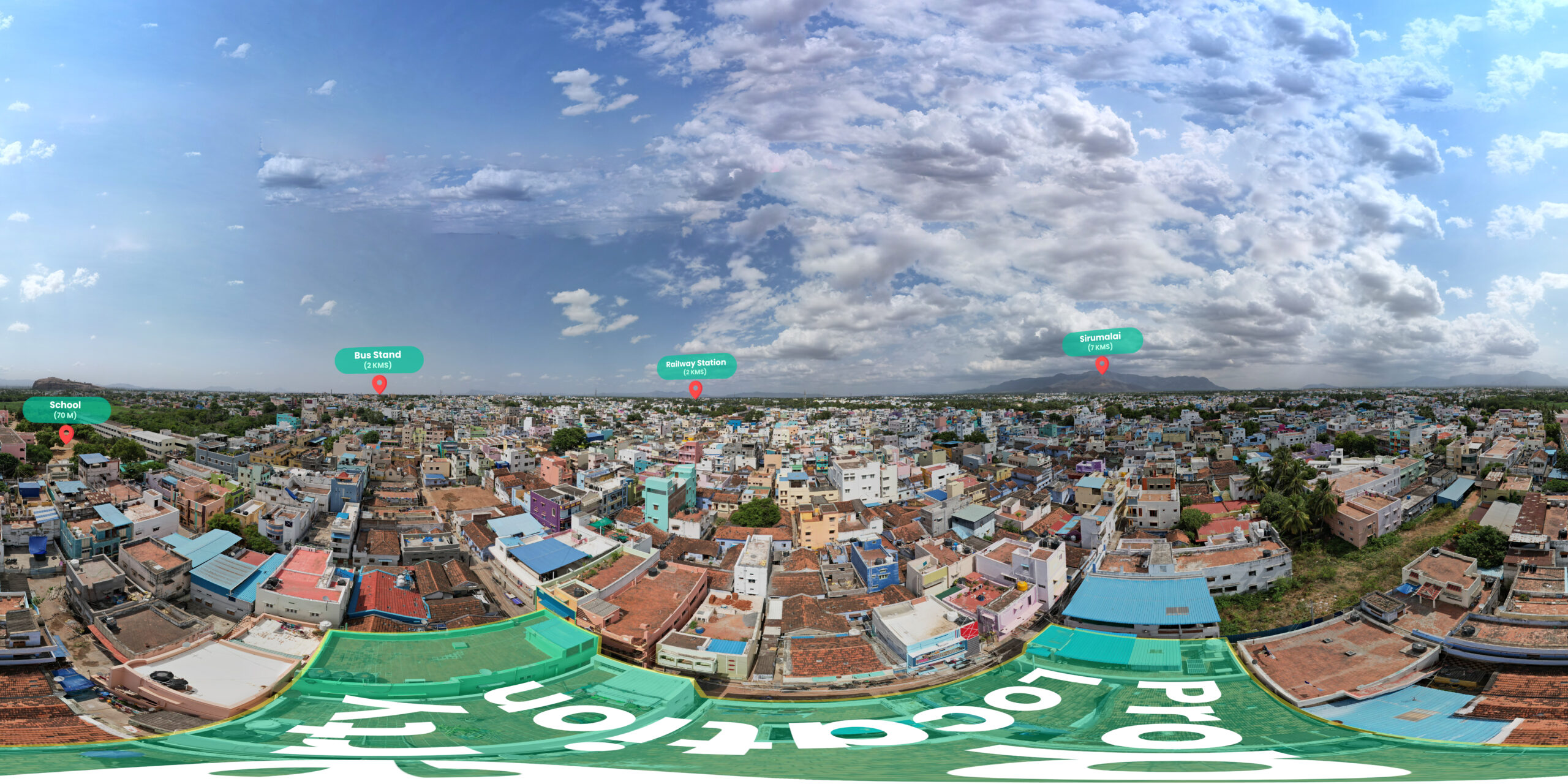
Every project benefits from clear site visibility—especially when teams and stakeholders cannot be physically present. Our 360° Virtual Tour solutions provide immersive, interactive site views that allow you to inspect, review, and present project progress remotely with accuracy and clarity.
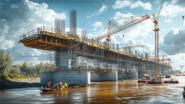
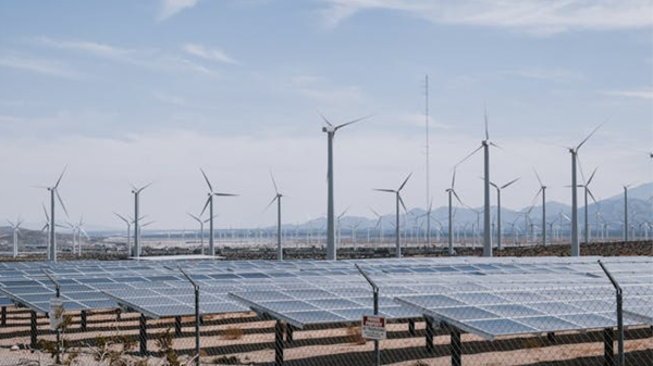
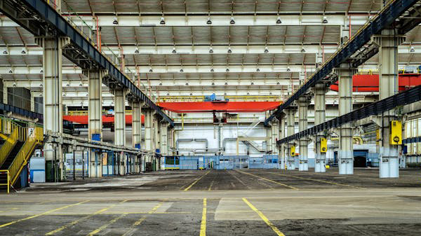
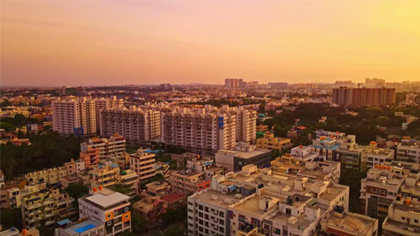
Designed for construction sites, factories, warehouses, and real estate projects, our tours help teams reduce site visits, improve communication, and make faster, better-informed decisions.
Outdoor / Vast Area
Interior
We deliver end-to-end 360° virtual tour solutions tailored to the project environment and usage needs.
High-quality 360° camera capture for interiors such as factories, warehouses, buildings, and enclosed spaces.
360° drone-based capture for large sites, open areas, corridors, and long infrastructure stretches.
Secure, shareable links accessible across devices without installation.
Add notes, labels, or reference points to guide inspections and reviews.
Organize tours by date, phase, or milestone for clear progress comparison.
We begin by understanding your vision, requirements.
We begin by understanding your vision, requirements.
We go beyond basic panoramic images to deliver structured, stage-wise virtual environments that reflect real site conditions. Our solution is built for both operational use and professional presentation, ensuring clarity at every level.
Web-based virtual tours (Hepta 360 web app) that work seamlessly on mobile and desktop. no apps or special software required.
Tours can be organized by project stages or dates, making it easy to compare progress over time.
Designed to load smoothly even on limited internet connections.
Hotspots and annotations highlight key areas, work stages, or observations directly inside the tour.
Our project process is built to ensure clarity, efficiency, and smooth progress at every stage. We begin by understanding your goals, then move into structured planning, resource coordination.
We understand the site type (indoor or outdoor), project scale, and how the virtual tour will be used—inspection, review, approvals, or presentation.
Based on site conditions, we deploy either 360° cameras for indoor spaces or 360° drones for outdoor and long-span areas, ensuring smooth and aligned capture.
The virtual tour is processed, structured, and delivered as a web-based experience (Hepta 360° View App). Feedback is incorporated to ensure clarity and usability.
No. The virtual tour is web-based and works directly on browsers across mobile and desktop devices.
Yes. Tours can be created stage-wise or date-wise, allowing easy comparison of progress over time.
Yes. We use 360° cameras for indoor spaces and 360° drones for outdoor and long-span sites.
Yes. Hotspots and annotations can be added to highlight specific areas, work stages, or observations.
Yes. The tours are optimized for low bandwidth while maintaining visual clarity.
Track development stage by stage
Share updates for faster approvals
Immersive property showcase experience
Accurate visual project records
Accurate visual project records
Easy remote project evaluation
Non-intrusive heritage preservation documentation
Let’s make something great work together. Get Free Quote
No. The virtual tour is web-based and works directly on browsers across mobile and desktop devices.
Yes. Tours can be created stage-wise or date-wise, allowing easy comparison of progress over time.
Yes. We use 360° cameras for indoor spaces and 360° drones for outdoor and long-span sites.
Yes. Hotspots and annotations can be added to highlight specific areas, work stages, or observations.
Yes. The tours are optimized for low bandwidth while maintaining visual clarity.

We specialize in advanced drone operations and aerial data processing that transform complex sites into clear, actionable visual insights.
*Stay updated with our latest projects and industry insights.